Using Technology and Data to Promote Hurricane and Flood Resilience
By Max Dorfman, Research Writer, Triple-I (10/21/2021)
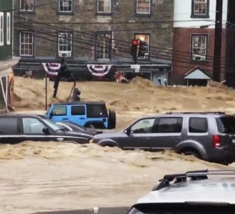
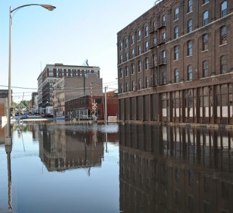
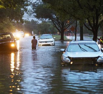
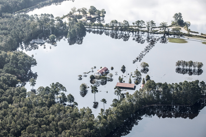
A convergence of extreme-weather risks and demographic trends has been driving hurricane and flood losses higher. As businesses, governments, individuals – and, of course, insurers – seek ways to mitigate the harm caused by these hazards and build back faster and better, answers are being sought through improved data collection and processing.
Data Analysis and Floods
In Georgia, Savannah County and Chatham County have partnered with the Georgia Institute of Technology and individuals in the community to confront their flooding challenges.
The Smart Sea Level Sensors project, begun in 2018, gathers real-time data on flooding through 55 sensors installed by Chatham’s Emergency Management Agency. Analysis of the data will help the agency put appropriate resources in place for long-term use, helping to inform planning for roads, stormwater runoff, and public infrastructure susceptible to flooding.
The project was funded by a Georgia Smart Communities grant. Previously, a large swath of coastal Georgia had relied on a single gauge. Now there are more than 40 sensors in Chatham County alone, providing hyperlocal, instantaneous data.
“Everyone working on climate change resilience has realized that ‘no one size fits all,’” said Kim Cobb, director of Georgia Tech’s Global Change Program. “This is about constructing tools to adapt to an ever-changing landscape.”
Now, a $500,000 grant from the National Oceanic and Atmospheric Administration (NOAA) will help expand the system of sensors outside Savannah and Chatham County for other coastal communities.
Drones and Hurricanes
During the recent hit of Hurricane Elsa, NOAA used drones to fly into the storm to collect data. The goal was to more accurately track the storm’s trajectory of the storm, gathering valuable insights into the nature of these hurricanes.
For the last 10 to 15 years, NOAA’s Hurricane Hunter planes were equipped with measurement technology and onboard scientists who release sensors tethered to parachutes, known as dropsondes, to collect data as they weave through the storm.
However, drones are now providing storm hunters insights that they could have never previously imagined. Working with Area-I, a Georgia-based aerospace company, NOAA is adapting drones for testing weather data.
The drone, called the Altius-600, is the second generation of small remote-controlled aircraft that NOAA has used to gather hurricane data. The Altius-600 can fly up to four hours and distances up to 265 miles from its launch point. It will also fly in areas airplanes cannot safely go. In fact, the drone will circle close to the surface of the ocean, near 30-foot waves and 100 mph winds.
“We’re hoping to get those things out into the storms soon,” said Chris Sloan, Commanding Officer of NOAA’s Aircraft Operations Center at Lakeland, Fla. “We really want the data from almost right above the surface of the ocean.”