Hurricane Modeling and Forecasting: Marrying Technology to Local Knowledge
By Jeff Dunsavage, 7/13/2020
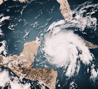
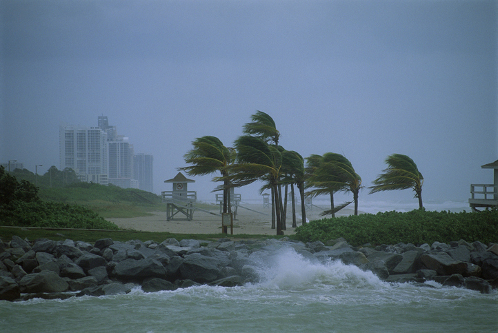
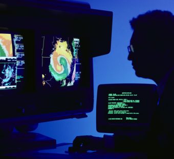
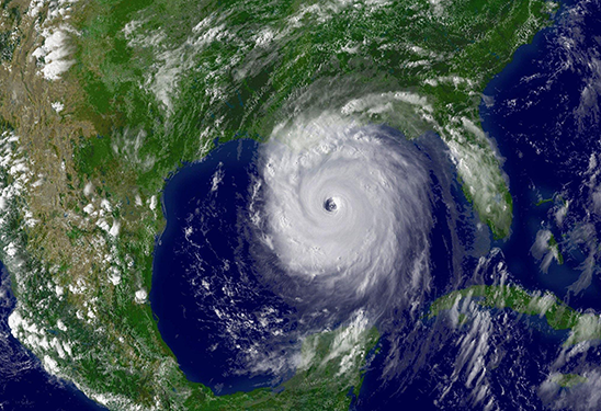
Sophisticated computer modeling has led to great advances in forecasting weather-related disasters and their potential human toll and economic impact. The predictive benefits of these models have given insurers comfort writing coverage for risks – like flood – that were once considered “untouchable” and enabled them to develop products
“After an event, we quickly send engineers to survey structural damage and look for linkages to the storm’s characteristics,” said Jeff Waters, senior product manager for risk modeler RMS. “Information gathered by our people on the ground is incorporated into our reconstruction of the event to help us identify drivers of the damage and inform our models.”
Waters recounted how, in the wake of Hurricane Maria in 2017, an RMS team arrived in Puerto Rico on October 3 – 13 days after landfall – to validate a modeled loss estimate. During the week the team spent on the island, they found that damage to insured buildings was less than expected for a storm of Maria’s magnitude. They also observed that most insured buildings featured bunker-style reinforced-concrete construction and flat concrete roofs.
“These buildings performed very well,” Waters said. “Reinforced concrete prevents significant structural damage, and, with less drywall and tiled flooring, interior damage from water intrusion is limited. Wood and light-metal structures – which tend to be in older neighborhoods where fewer properties are insured – fared far worse.”
Such ground-level information not only helped validate RMS’s loss estimate – it also contributes to the model’s continuous improvement. You can read a more detailed account on the RMS blog.
Recent research illustrates how advances in geospatial technologies allow qualitative local knowledge to be incorporated into mathematical models to evaluate potential outcomes of restoration and protection projects and support plans for mitigation and recovery. Local knowledge mapping is one such approach to marrying modern technology and the advanced analysis it facilitates to the experiences of the individuals, communities, and businesses most affected by natural disasters.