Scholar Promotes New Approach to Predicting Hurricane Damage
Jeff Dunsavage, Senior Research Analyst, Triple-I (04/18/2022)
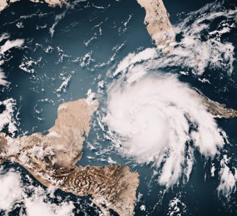
Triple-I non-residential scholar Phil Klotzbach has proposed what he says is a better way to predict hurricane damage than the wind scale currently in use.
Speaking at National Hurricane Conference in Orlando, Fla., the Colorado State University research scientist recommended using barometric pressure instead of the Saffir-Simpson wind-based scale.
“Wind hasn’t worked recently,” said Klotzbach, a CSU meteorology professor. “It’s not bad, but pressure actually does (predict) better.”
Klotzbach is not the only person supporting a movement of using pressure over wind, and this was not the first time he had pitched the idea. During the 2020 hurricane season, Klotzbach and other meteorological scholars, published a paper about the subject, but it was overshadowed by the COVID-19 pandemic, Klotzbach said.
According to the paper, several scales have been proposed to replace Saffir-Simpson, but most aren’t easily calculated in real time, nor can they be reliably calculated historically. For example, “storm wind radius” datasets extend back only about 30 years.
Minimum sea level pressure (MSLP), the paper finds, is a better predictor of the scope of a storm’s damage and can be more accurately measured in real time, “making it an ideal quantity for evaluating a hurricane’s potential damage.”
“Barometers are among the simplest meteorological instruments and will usually operate in a wide range of conditions,” the paper says. Anemometers, which measure wind speed, “are prone to mechanical failure…precisely when they matter most.”
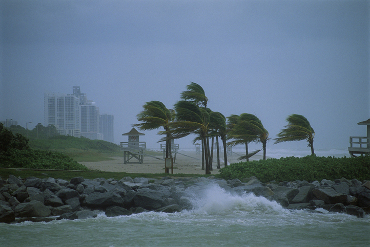
Pressure is what is largely responsible for storm surge — which the National Hurricane Center (NHC) has said is the most deadly force a hurricane produces. In 2019, the NHC found that most people consider wind to be the greater destructive force in a hurricane’s arsenal, but that’s not the case, according to NHC storm surge specialist Cody Fritz.
“Historically, storm surge has contributed to about half of storm-related deaths,” Fritz said.
MSLP is the lowest pressure recorded in a hurricane. It occurs at the center of the storm and is part of the large-scale structure of a hurricane’s vortex. Because winds are generated by differences in barometric pressure between the hurricane’s eye and its perimeter, lower pressure is typically associated with stronger winds. Also, if two hurricanes have the same wind speed, the one with the lower pressure typically will cover a greater area, potentially posing greater storm surge risk.
“With aircraft reconnaissance, MSLP can be reliably calculated,” the paper says. It’s also much easier to measure at landfall than is maximum sustained wind speed.